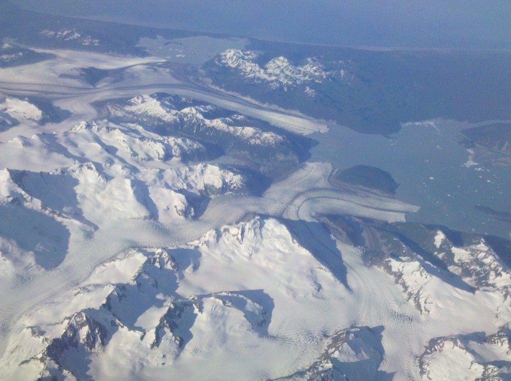
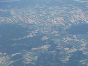
 Pictures of Earth from space are always impressive. We gain perspective, learn geology, see our own hometown in a new way, and maybe even pick up a little geography. On your next plane flight, why not spend more time looking out the window with your kids?
What you see will depend on both when and where you are. If you get a cloudy day, too bad. There’s not too much you can do about that. But on clear days and nights, you can see the world from your plane. Family on the Loose has a this three-part travel scheme: prepare, enjoy, reinforce. And, making the most of your on board Earth viewing opportunity is no different.
Prepare. Get a paper map! Show your kids where you live and where you are going. Identify your likely flight path and what you might see from the air. It might be better to explore US-Europe or US-Asia flight paths using a globe. Use Google Earth to fly over your home and destination in advance. With Google Earth you can go up to 10,000 feet, “fly” along the flight path, find something confusing or interesting, and then zoom in to figure out what it is. (Don’t try that on the plane :). Visit NASA’s Landsat websiteand search for images of your hometown or your destination. Identify a few things you’d really like to look for on your flight: a mountain, a military base, a desert, or a city. If you’re feeling extra enthusiastic, research plate tectonics, glaciation, and watersheds in an encyclopedia, in a local reference book, or on-line. The more your children understand the large forces that shape what you see from the air, the more they will be excited about what they can see.
 Enjoy. Look out the window as you take off. Try to find some key landmarks and help your kids orient themselves from the air. It’s one thing to know that there is a lake near downtown but another to actually see it. Point out the highways, rivers, and special attractions. Bring a copy of Windowseat: Reading the Landscape from the Air by Gregory Dicum (Chronicle Books, San Francisco). It’s a great introduction to the things you could explore from the air with special sections for each region of the US. Windowseat also includes just the right amount of detail about how to look for and understand glaciation and plate tectonics. There is now a new windowseat edition for Europe and a beta website that follows your flight in real time!
At night, take a look at how many lights you can see. How are they distributed? Why are some areas particularly lit up? Where are the darkest areas and why?
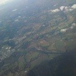 And, why not make a scavenger hunt from the window? Things to include might be: lake, car, truck, road, factory, large open pit mine, river with multiple channels, dam, airport, school, windmill, red house, blue house, power lines, forest, fire, city, highway, round irrigated field, square agricultural field etc. For younger kids you can simply include geometric shapes and colors; older kids can hunt for complex detail. Have your kids create the scavenger hunt on the way to your destination while they explore and try to figure out what they are seeing. Your kids can take their own scavenger hunt on the way home!
Note: If you want to take pictures from the air, turn your cell phone to airplane mode (a mode in which it cannot send or receive a signal) before you shut it down at take off, then you can turn it on during the flight to use as a camera.
Reinforce. Go back to Google Earth, the maps, the globe etc and look at where you were. If you took some in-flight photos out the window, can you identify where they were taken? Can you figure out what particularly mysterious things might have been?
We have a book called, Earth from Above: 365 Days by Yahn Arthus-Bertrand (Harry Abrams Inc.) that has the most amazing photos of Earth from the sky or space. There is one photo for each day of the year. We leave our copy open and flip just one page every morning. These picture inevitably lead to discussions about what we’ve seen from the air, where we want to go next, the amazing diversity of things to do and see, and the Earth as a whole.

